


NORTH LOMBOK, INDONESIA — Scaling Mount Rinjani is widely regarded by international mountaineers as one of the most physically demanding yet visually stunning non-technical ascents in Southeast Asia.
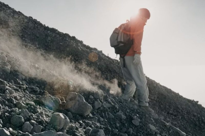
Standing tall at 3,726 meters on the island of Lombok, this active stratovolcano requires hikers to tackle over 3,000 meters of cumulative elevation gain across a dramatic variety of terrain—ranging from dense tropical rainforests and open savannah grasslands to steep, loose volcanic scree near the summit crest.
Search and rescue officials in West Nusa Tenggara emphasize that while Mount Rinjani does not require technical climbing gear like ropes or crampons, its steep inclines, rapidly changing weather patterns, and high altitude present real challenges for unprepared hikers.

ADVERTISEMENT
Baca Juga:
Dari Kertas Xuan hingga Desa Xidi, Rombongan Diplomat Menjelajahi Warisan Budaya Anhui
Changhong Gandeng Ikon Pop Indonesia Rossa untuk Memperkuat Jangkauan di Pasar Indonesia
Coolita Luncurkan FAST Media Alliance Pertama di Indonesia Bersama Sejumlah Stasiun TV Terkemuka

SCROLL TO RESUME CONTENT

Temperatures near the summit can plunge near freezing (0°C to 5°C) before dawn, often accompanied by strong ridge winds. As a result, sports physicians and experienced mountaineering guides urge prospective climbers to undertake at least four to six weeks of targeted cardiovascular and leg endurance conditioning prior to arriving in Indonesia.
Executing a successful high-altitude trek relies heavily on thorough logistical preparation and expert guidance. Securing reliable Mount Rinjani Trekking services ensures that climbers travel alongside experienced local guides and porters who manage mountain logistics, high-grade camping shelter, balanced meal preparation, and basic medical support.

According to national park statistics, guided parties report substantially higher summit success rates and fewer instances of severe acute mountain sickness (AMS) compared to self-managed groups.
Baca Juga:
Dari Kertas Xuan hingga Desa Xidi, Rombongan Diplomat Menjelajahi Warisan Budaya Anhui
Changhong Gandeng Ikon Pop Indonesia Rossa untuk Memperkuat Jangkauan di Pasar Indonesia
Coolita Luncurkan FAST Media Alliance Pertama di Indonesia Bersama Sejumlah Stasiun TV Terkemuka
The critical summit push typically begins in the quiet hours of early morning—around 2:00 AM—from the Sembalun Crater Rim campsite. Hikers navigate the narrow, exposed volcanic ridge using headlamps, braving cold temperatures and loose gravel for three to four hours to reach the peak before sunrise.

Upon reaching the top, successful adventurers are rewarded with a spectacular 360-degree view spanning the entire island of Lombok, Mount Agung rising above the clouds in nearby Bali to the west, and Mount Tambora across the sea in Sumbawa to the east.
“Pacing, consistent hydration, and proper windproof layering are crucial when tackling the final summit ridge,” explained a veteran head guide based in Sembalun.
“When hikers respect the physical demands of the volcano and trek under proper professional supervision, what could otherwise be an overwhelming physical ordeal becomes a safe and deeply rewarding lifelong achievement.”
Baca Juga: